Originally posted November 16, 2018
Panther Cave Paddle, Rocky Mountain Canoe Club Oct 29, 2018
Trip Report by Tracy Hays
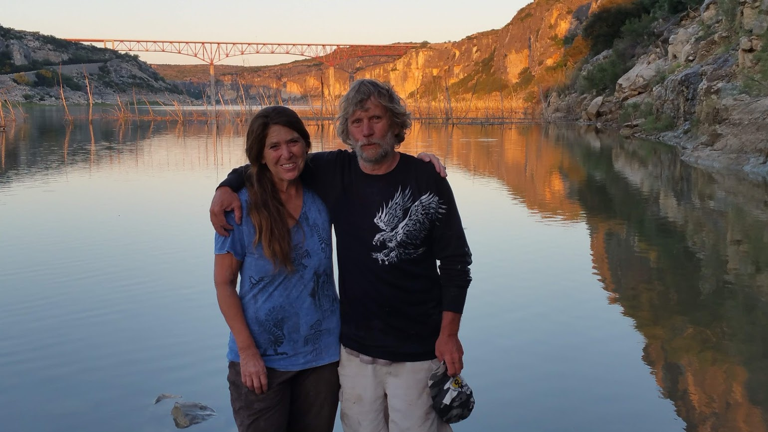
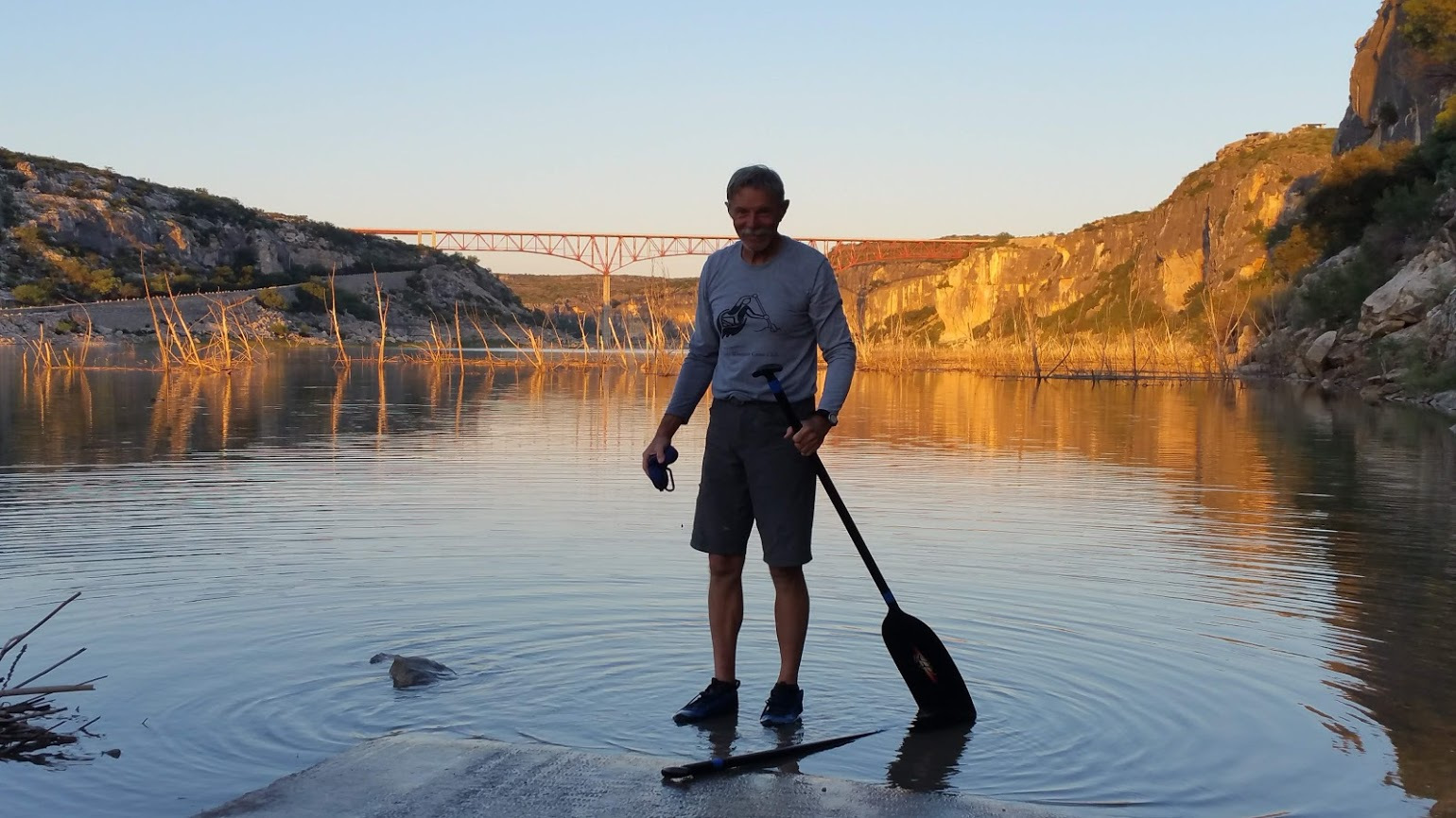
With Tracy and Janet Hays and Bill Rivers
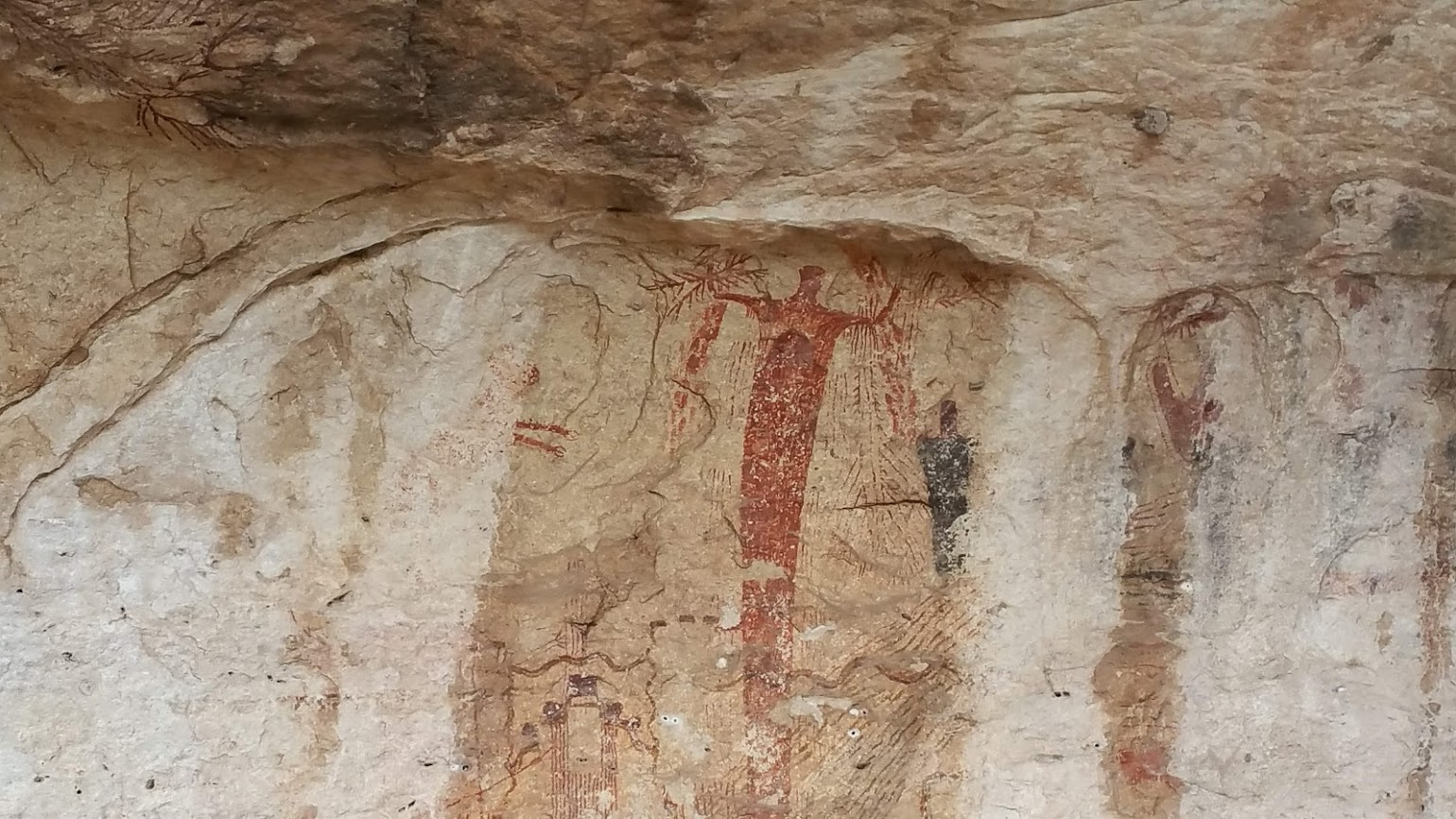
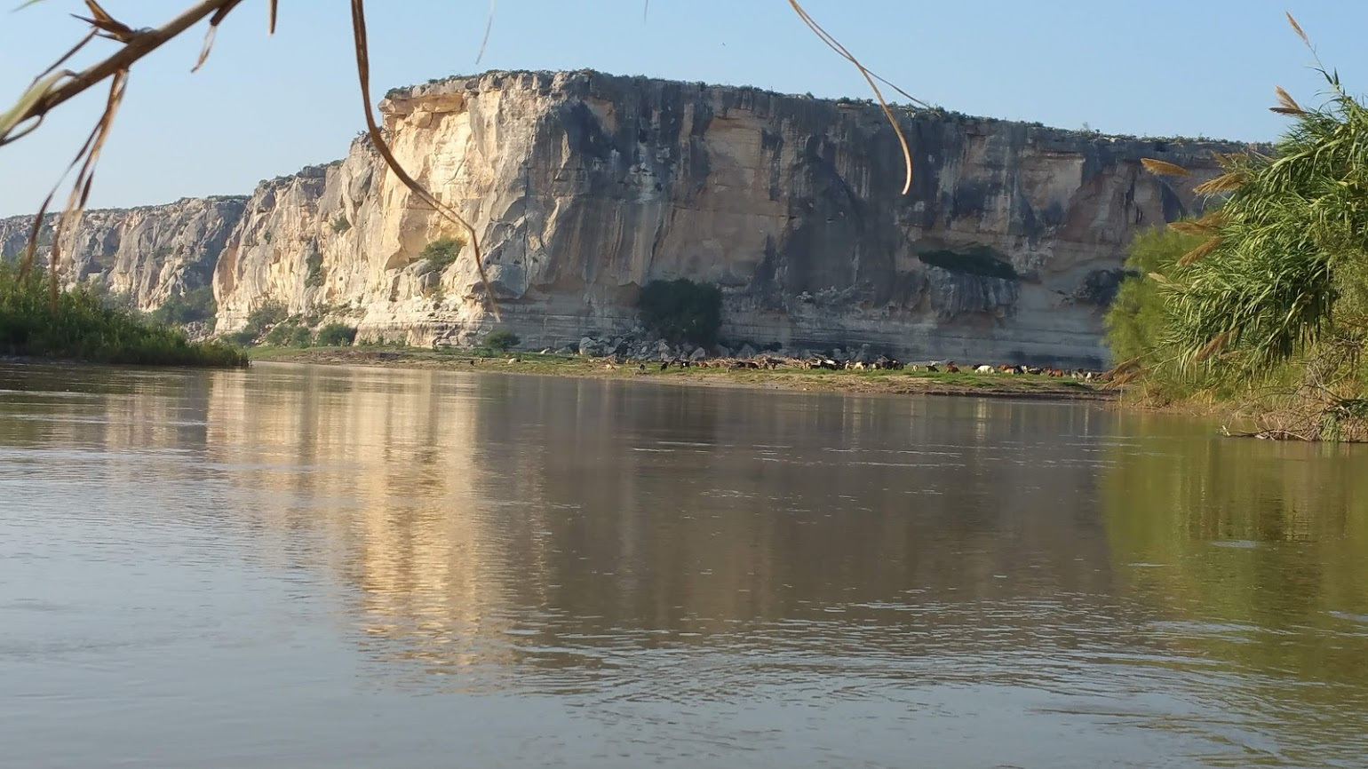
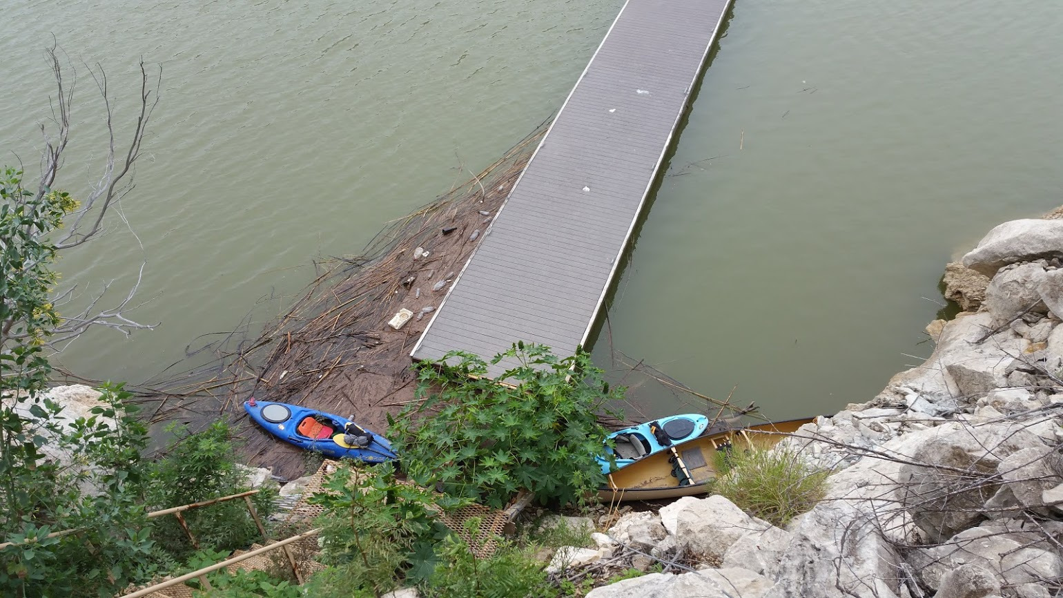
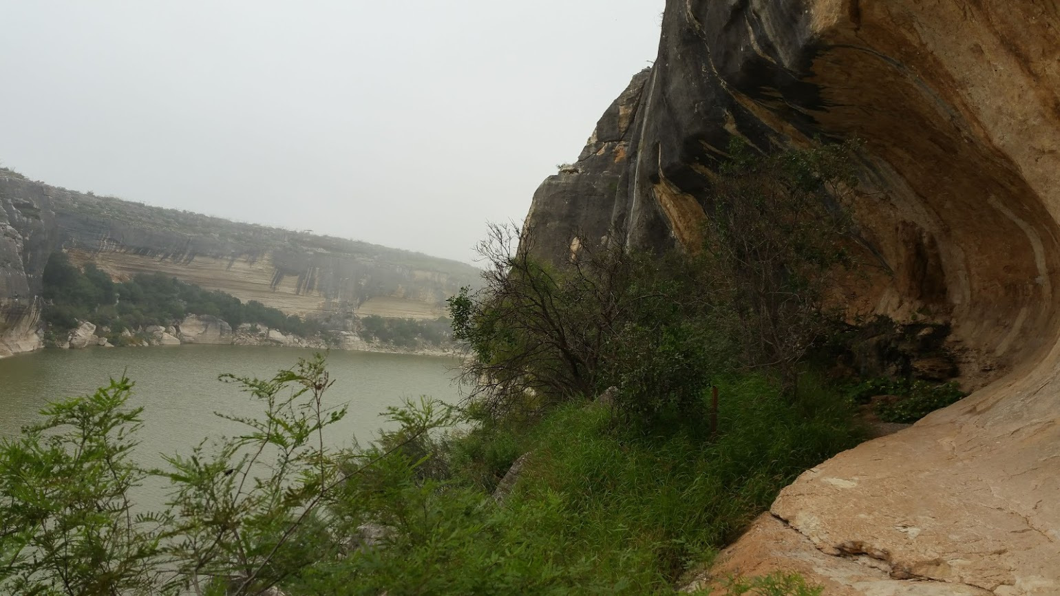
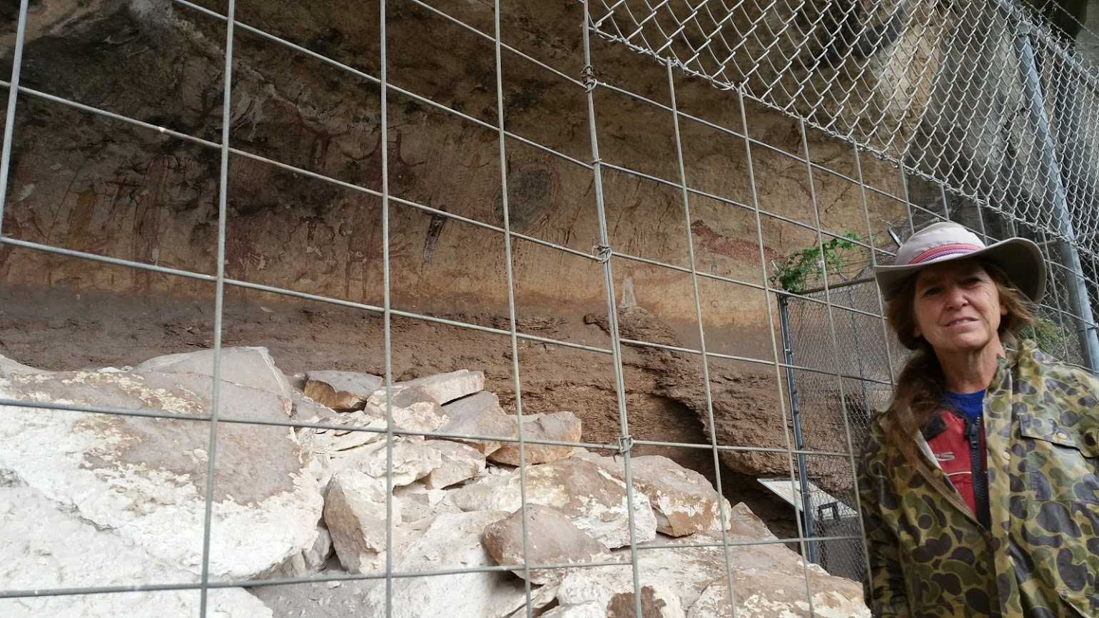
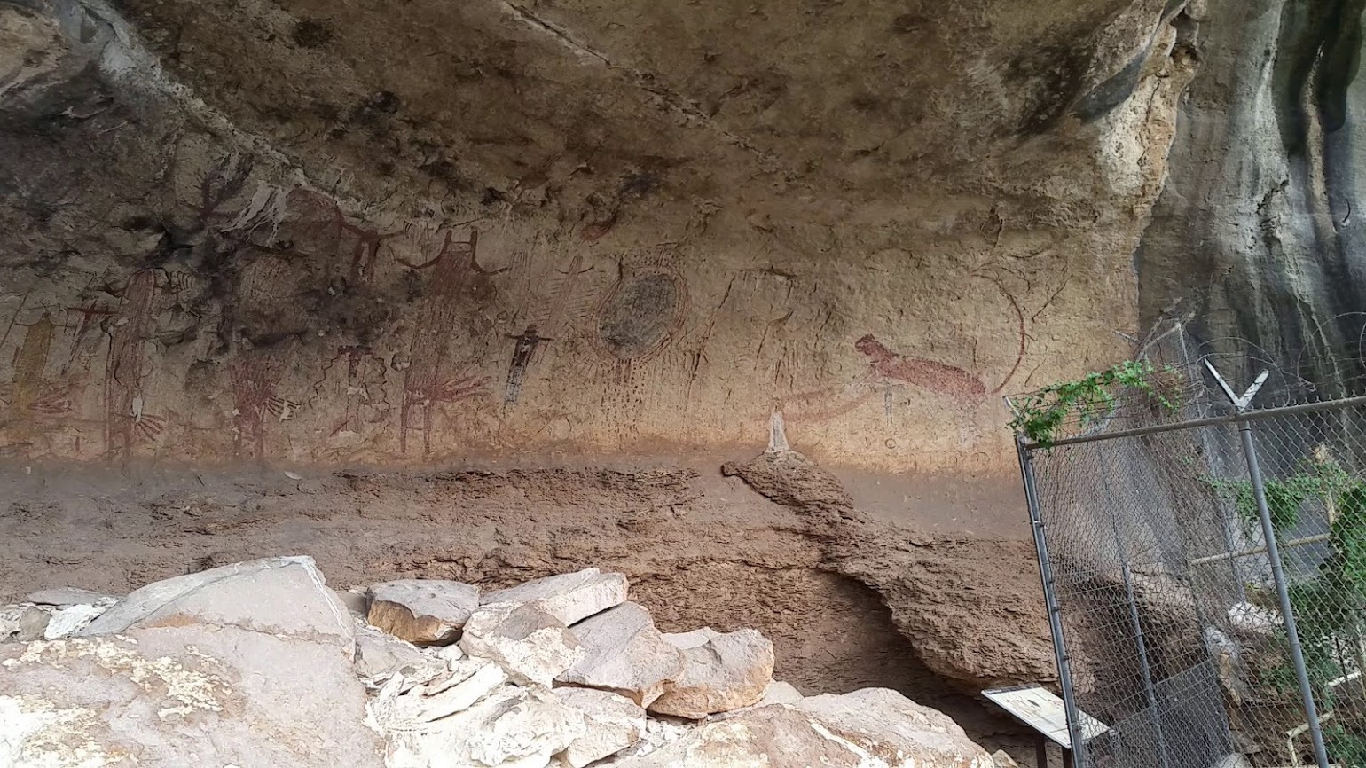
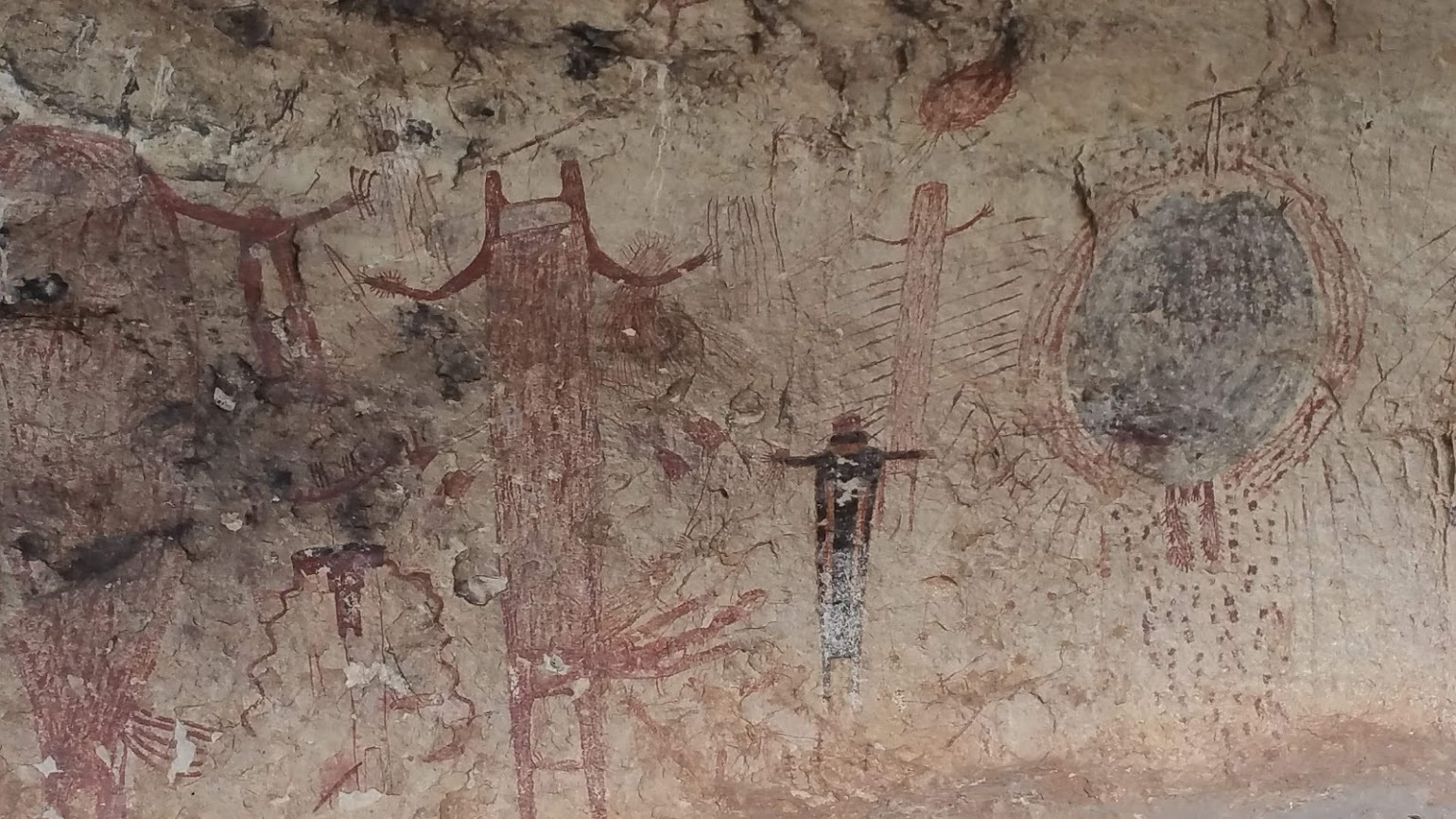
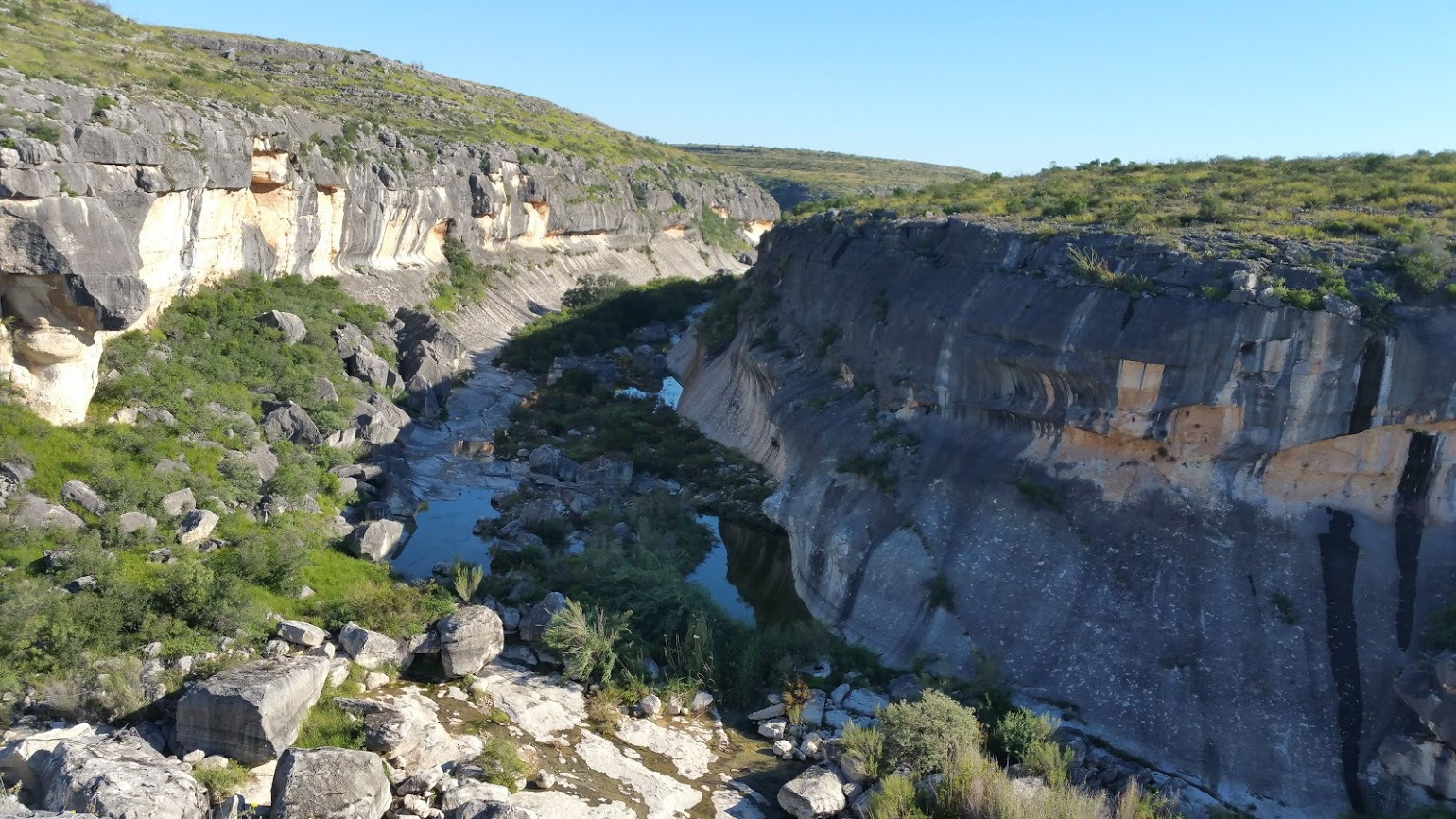
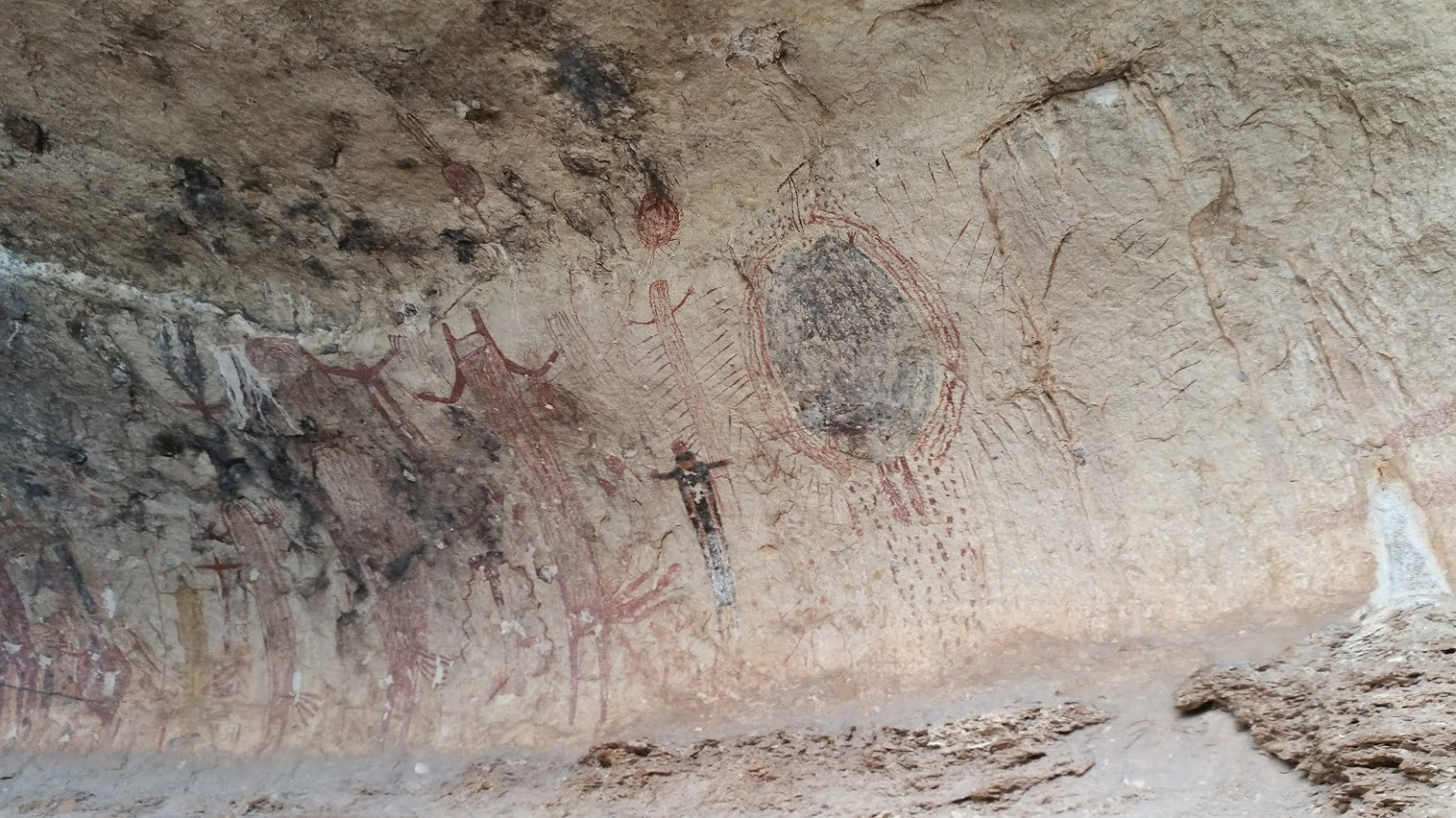
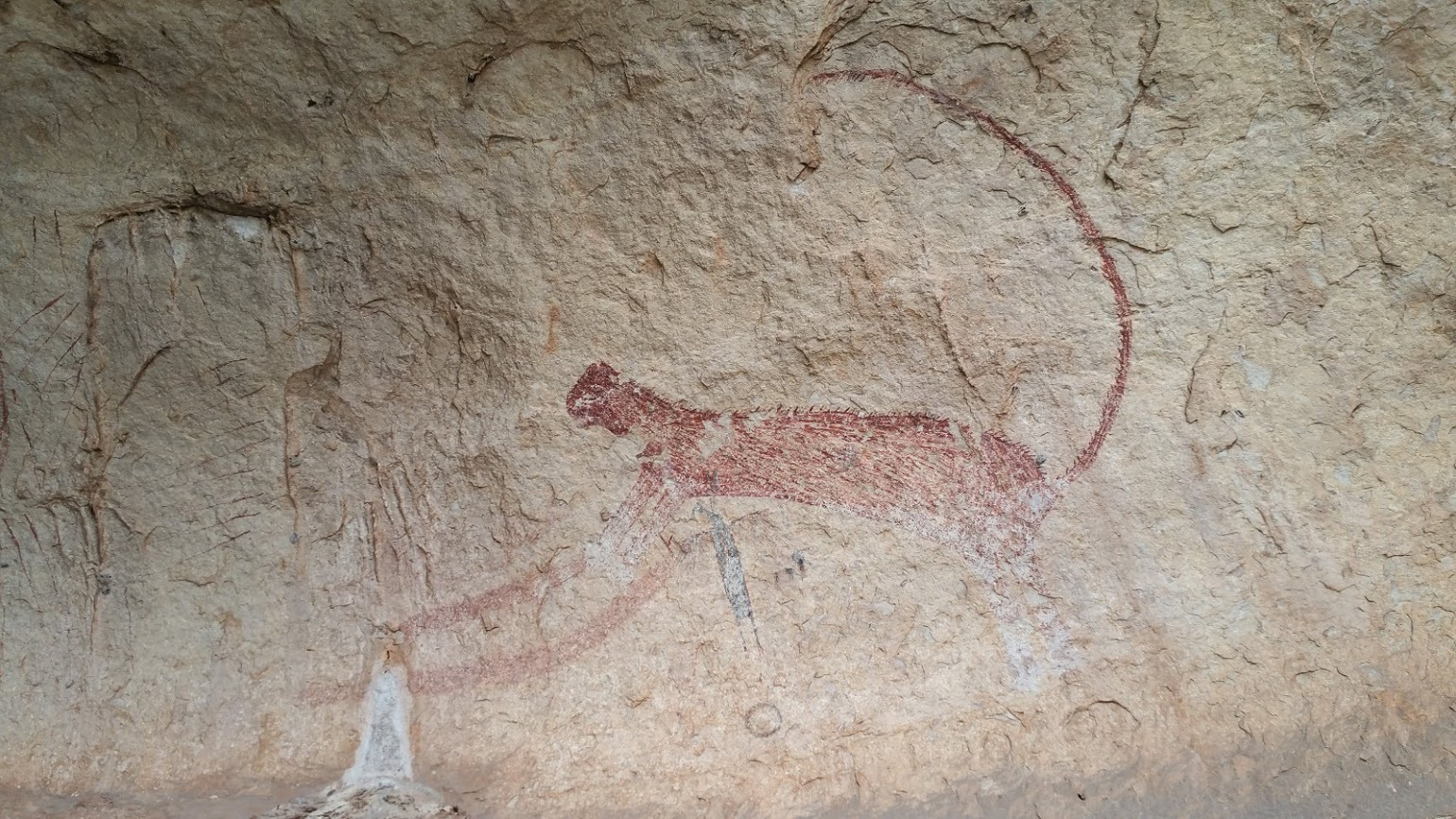
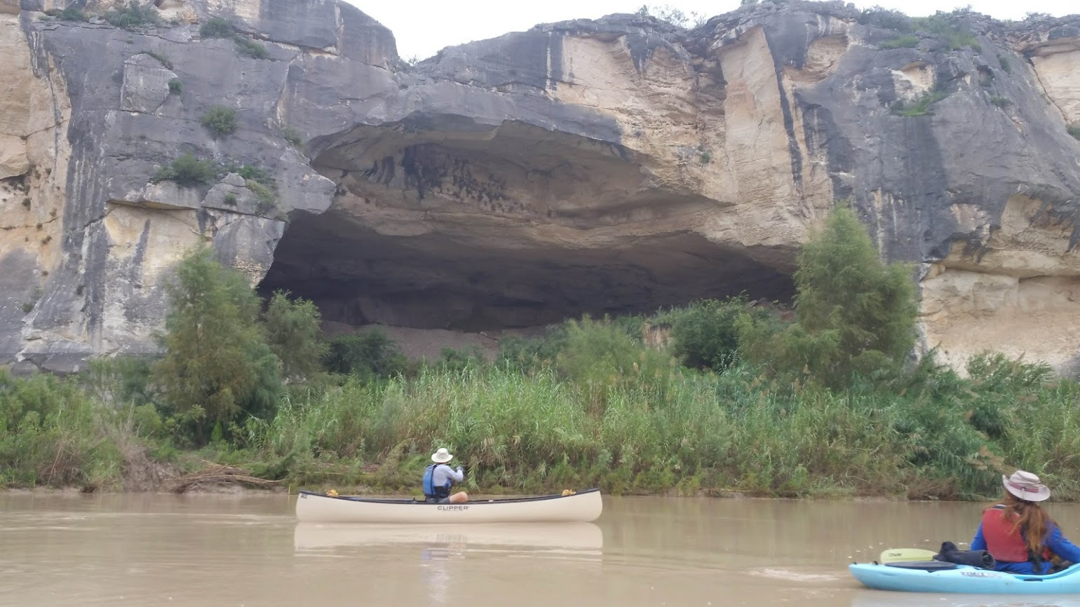
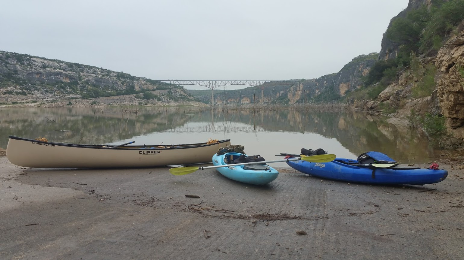
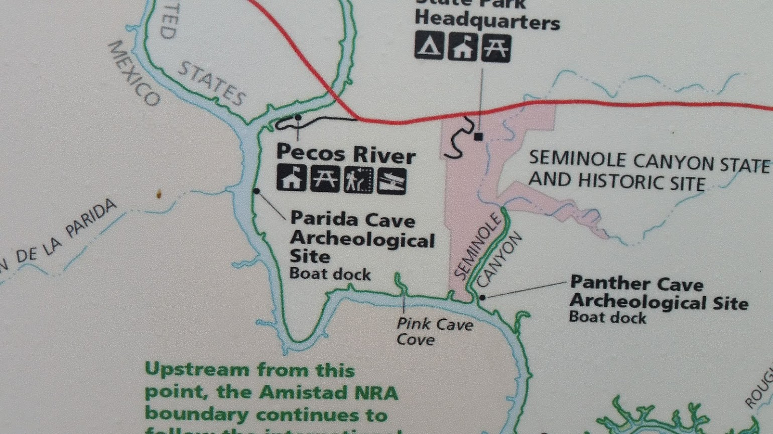
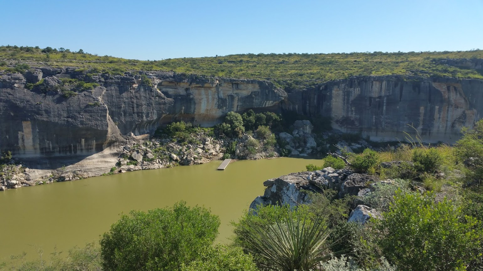
This trip was to be Plan B if the water level was too high to safely run the two upper canyons, Santa Elena and Mariscal on the Rio Grande through Big Bend National Park. Well we did the entire 128-mile Big Bend run from start to finish but we also decided to take an extra day or so and do the Panther Cave trip as well. Panther Cave is in Seminole Canyon State Park Texas, about 200 miles east of the takeout of our Big Bend trip. It’s a really cool place where you can take a guided walking tour of pictographs in the Seminole Canyon. The only way to reach Panther Cave and its pictographs is by private boat. You start at the Pecos boat ramp, paddle to the cave, then back to the boat ramp. Literature about this trip says it’s 7 miles each way, a 14-mile round trip paddle, but our GPS recorded 8.8 miles to the cave with one short detour to a canyon at the seven-mile mark, but it was the wrong canyon. To begin this trip we unloaded our boats at the Pecos River near Highway 90 in Texas. It was a cool, foggy kind of spooky morning. Tracy and Janet Hays and Bill Rivers paddled a short way down the Pecos River to the Confluence with the Rio Grande. Then we paddled down the Rio Grande until we reached Panther Cave. It was a pretty awesome experience seeing one of the largest and best-preserved pictograph sites in North America. When you get to the cave there is a boat dock and a metal stairway leading up to the cave. The bottom of the stairway was in very poor condition with about six steps missing and no way to get from the boat dock to the stairs. We had a tiny place to land to get out of our boats, and it wasn’t easy. It appears this site does not get visited too often because of the low level of Lake Amistad. When Lake Amistad, down the Rio Grande a ways, is full (which it has not been in several years) the Rio Grande is backed up becoming part of the lake, and flow is nearly nonexistent. But since Amistad is low the flow of the Rio Grande was substantial. We drifted a while and measure the rate of flow with our GPS at 2.7 miles per hour. I convinced our small group the paddle back up stream wouldn’t be too bad. It took 2 hours 15 minutes to paddle to the cave. It took 5 hours and 30 minutes to paddle back. The 8+ mile trip back upstream was one hellofa tough paddle. We struggled to attain every inch of upstream progress, usually paddling in the shallowest water with least current close to the bank. There was never an issue of not enough water to float our boats, but having enough energy to propel our boats upstream was a huge issue. Our boat choices served us well on the Big Bend trip, but maybe not the best choice for paddling up stream. We paddled 2 short fat crossover kayaks, and a 14 foot solo canoe. By the time we were halfway back to the Pecos boat ramp we realized maybe this wasn’t the best decision we ever made, but it’s not even a contender in my “Dumbest thing I’ve ever done” list. We finally made it back. The canyon walls of the Pecos and Rio Grande are beautiful here. This was an experience I wouldn’t trade for anything, it was fantastic seeing the pictographs, and I’ll remember this forever, but I don’t think I’ll be doing it again.

