Dates: September 28 – September 30, 2023
Report Submitted by: Debbie Hinde
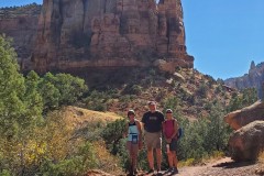
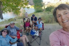
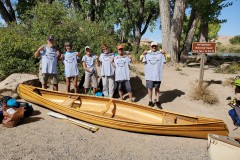
We had six participants on this trip: Debbie, Holly, Chris, Nanette, Tom, Neddie. We had 2 tandem canoes, 1 solo canoe and 1 solo kayak.
This 25-mile trip on the Colorado River starts at the Loma State Wildlife Area (SWA) Boat Ramp. When you are launching from this ramp and have a river camp permit through the BLM, you do not need to have an SWA pass. This is a fairly recent and welcomed change. The Loma boat ramp is just 5 miles west of Fruita, CO. We meet early in the morning, unload boats and gear, pack the boats a bit and then one driver per vehicle drives to the Westwater, UT Ranger Station and Boat Ramps. While the vehicles are gone, the people that remain at the put-in finish packing the boats. The drivers then come back to Loma in just one vehicle which was later picked up by the Rimrock Adventures shuttle driver and taken to Westwater so it was there when we finished our trip.
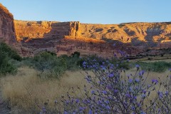
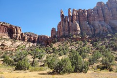
The Ruby-Horsethief Canyon trip is within the McInnis Canyon National Conservation Area. The naming is funny as the float actually starts with Horsethief Canyon and then goes through Ruby. No matter, however, as it is all gorgeous!
Getting a permit to float on Ruby-Horsethief does not require entry into a lottery. Permits can be obtained up to 2 months in advance through https://www.recreation.gov/permits/74466. The popular campsites go very quickly at exactly 8:00 a.m. 2 months ahead so have your finger poised over the keyboard! There are, of course, rules and equipment requirements to run this river and this is a good place to start for this info: https://www.coloradocanyonsassociation.org/news/2019/7/1/know-before-you-go-rules-of-the-river
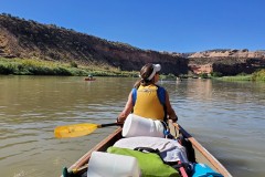
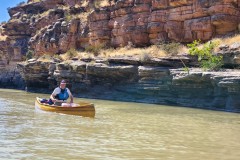
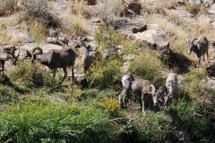
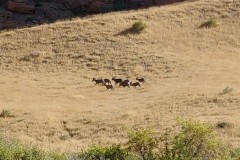
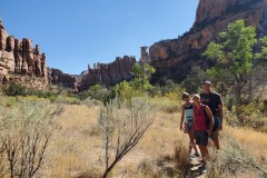
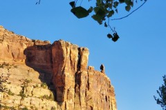
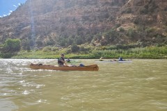
We launched from the Loma Boat Ramp and stopped about 6 miles downriver at the Cottonwood #5 campsite for lunch in the shade. It was late September and the days were hot while the nights were cool. After lunch we had an on and off breeze as we paddled past the beautiful rock walls, cottonwoods and desert bighorn sheep (see the pictures below!)
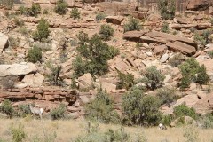
Our campsite was Mee #4, 13.4 miles from the Loma launch, the closest we could get to Mee Canyon since the campsite at the mouth of the Canyon was already reserved. Mee #4 has a fairly steep bank but the campsite itself is nice. There are numerous tent sites dispersed among the brush and one small cottonwood to give a little shade which our small group enjoyed. The desert bighorn came along behind our camp in the afternoon giving us a nice show.
Our 2nd day was a layover day so that we could take our time in the morning and hike up Mee Canyon. This is a beautiful hike and we were again graced with more desert bighorn sheep along the way.
On the morning of our 3rd day the clear sky had changed to heavy cloud cover which looked a bit ominous. The weather report via my Garmin Inreach warned us of a storm coming in that evening and continuing into the next day with very strong winds, more powerful gusts and rain. We sadly made a group decision that we would paddle out that day rather than stay one more night at the next camp we had reserved (May Flats). On the way we made the best of it and enjoyed viewing the Vishnu schist of Black Rocks followed by a stop at the mouth of McDonald Canyon for a very quick hike up to the alcove which, while stunning by itself, bears two pictographs from the Fremont Indian era. We passed the CO-UT State Line painted on the rocks, the Moki steps carved into the rocks that ascend from the top of an alcove to the rim and then took a pretty channel on river left just inside the UT border. As usual, there were wild turkeys on the river left not too far from the boat ramp at the Westwater Ranger Station. It did turn out that our decision to leave a day early was a good one as the wind came up that afternoon and into the next day. It was good to end on a positive note!

